What's new

Get Your Hike On! - Picture Thread

Earlier this week the LOML and I did our first overnight backpacking trip. We headed to Torreya State Park, which is about 30 miles west of Tallahassee. It's also about the only place in Florida with real elevation change. Trail often led into a valley and up out of the valley.

As this was our first time carrying all of our gear we kept the mileage short: 6 miles the first day and 4 the second day. Temperatures were nice, only reaching around 50 and dipping into the mid-30s overnight (sleeping pads and mummy bags kept us warm).

We also had the chance to borrow a friends hammock, and I am a convert! I may never sleep in a tent again.

proxy.php
 
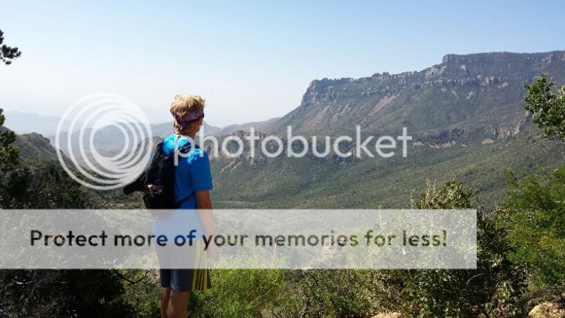
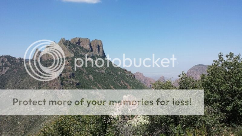
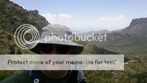
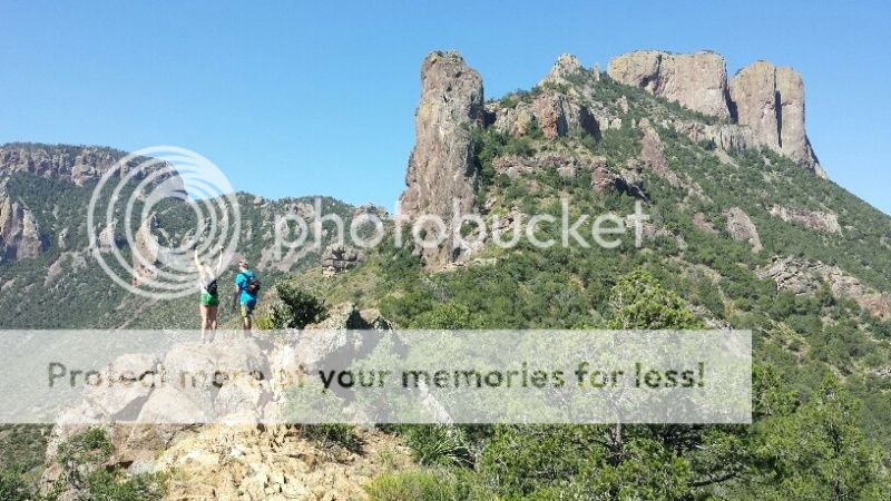
I guess since we have all these winter pics, you might enjoy some desert hikes in from August 2015. Our family visited Big Bend and did quite a bit of hiking while there.

Here are some pics from the Lost Mine Trail that winds up into the Chisos Mountains out of the basin. While it was 110 degrees in much of the area, it was in the 80's in this area.

proxy.php


proxy.php


proxy.php


proxy.php


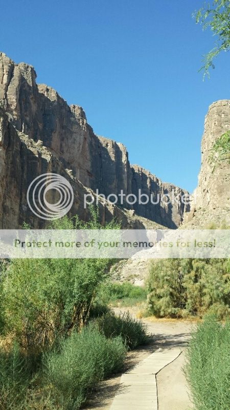
And one at the entrance to the Santa Elena Canyon as the Rio Grande exits and meets Terlingua Creek. The left side of the canyon wall is Mexico, and the right is Texas. This hike was a hot one...
proxy.php
 
Our BSA troop outing for January was a walk through and spend the night in Worley's Cave near Elizabethton, TN. We hiked in about 1/2 mile, then set up camp and went on a 2 hour wild cave experience with two guides. Not scary at all, but with the copious December rains here, the cave floor was extremely slippery.

We all had helmets and headlamps, but I would describe the experience as like ice skating on a very irregular surface in the dark. Picture that. For the last 15 minutes, we waded back to our cave camping spot in a knee deep river.

Hard to get any decent pics inside the cave, but here are a couple of shots.

$IMG_0858.jpg$IMG_0859.jpg$IMG_0864.jpg$IMG_0865.jpg
 
The LOML and I went to Withlacoochee State Forest and hiked the C loop of the Citrus tract. We spent two nights (one at the campground, one at the primitive campsite) and hiked 17 miles over two days.

This was our first time in our new Hennessy Hammocks and they worked great. We survived (and stayed dry) during a ferocious storm - rain, high wind, thunder, and lightning - the first night. They were also very comfortable. We are converts.

We hiked 9.5 miles the first day and 7.4 the second. All of this was in preparation for a section hike of the AT at the end of April.
$uploadfromtaptalk1459113853612.jpgOn the trail.
$uploadfromtaptalk1459113894548.jpgAt the primitive campsite.
 
The LOML and I went to Withlacoochee State Forest and hiked the C loop of the Citrus tract. We spent two nights (one at the campground, one at the primitive campsite) and hiked 17 miles over two days.

This was our first time in our new Hennessy Hammocks and they worked great. We survived (and stayed dry) during a ferocious storm - rain, high wind, thunder, and lightning - the first night. They were also very comfortable. We are converts.

We hiked 9.5 miles the first day and 7.4 the second. All of this was in preparation for a section hike of the AT at the end of April.
View attachment 647690On the trail.
View attachment 647691At the primitive campsite.
Are you doing the extreme southern end of the AT, starting with the approach trail at Amicalola Falls? Beautiful hiking, though it doesn't seem to get the love that sections farther north get. How many miles and how much time do you have planned?
 
Are you doing the extreme southern end of the AT, starting with the approach trail at Amicalola Falls? Beautiful hiking, though it doesn't seem to get the love that sections farther north get. How many miles and how much time do you have planned?

We are going SOBO from Fontana Dam to the NOC. It's 30 miles with some significant hills. We have planned 4 days and 3 nights. The LOML and I could do it faster but we will be with some of her family who are new backpackers.

We should have some great hiking and views. Some good ridgelines to hike, and of course, there is Cheoah Bald.
 
Went up to Lake Tahoe and decided to pull over on hwy 50 and get a pick of Horsetail falls in the distance. Not a hike per we but this climb for the pic was no chipmunk of a hill either. The altitude was a killer for this sea level guy.
 

Attachments

  • $IMG_20160514_234256.jpg
    $IMG_20160514_234256.jpg
    70.6 KB · Views: 52
  • $IMG_20160513_213633.jpg
    $IMG_20160513_213633.jpg
    44 KB · Views: 53
I've only made it through page one of this thread but some really nice photographs here!!! I miss hiking so this thread is bitter sweet
 
This is the joining of the Kenicott Glacier (farthest) and the Root Glacier near the Kenicott Mine in Alaska. The green spit of land is where the mountain divides them.


Here's a better picture of the Root Glacier.
 

Ad Astra

The Instigator
Alaska IS spectacular, but scrolling through reminds me I really want one of those Henessey hammocks - that's a whole 'nother way of doing things. Especially for summer camping, where you'd catch a cooling breeze.


AA
 
Top Bottom